
Haunted Dot3D Scan from iPhone 17 Pro Max

Dot3D + GNSS at the NEDIAI 31st Annual Conference
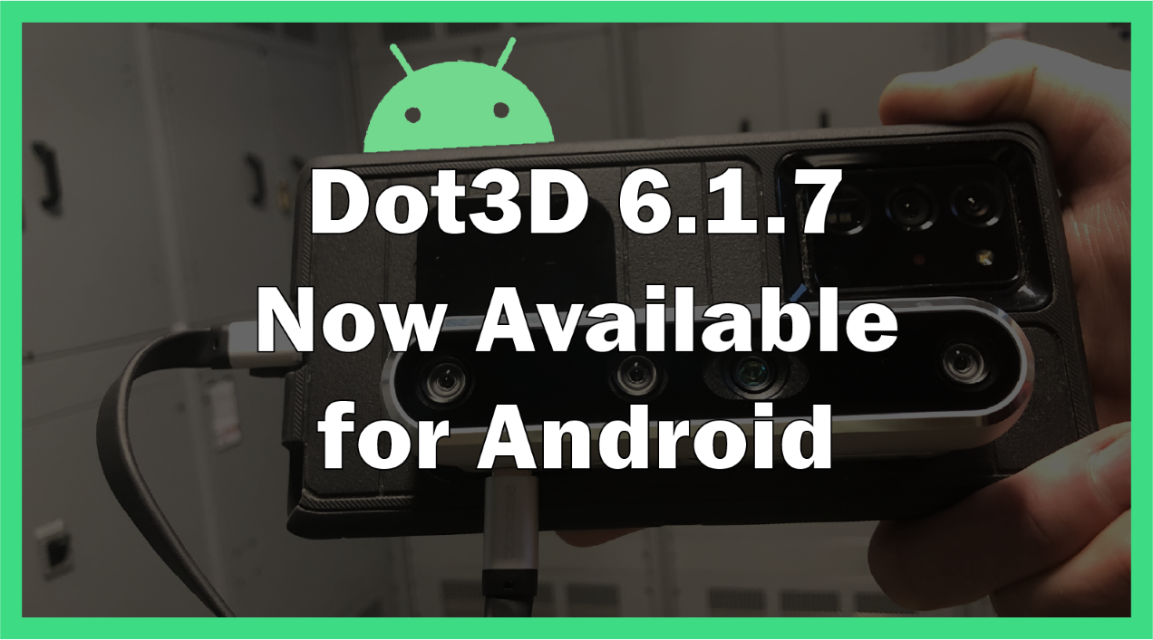
Update alert! Dot3D 6.1.7 is now available for Android

Ultra Hi-Contrast Acrylic AprilTags Now Available

Press Release: AutoScene Draw Now Available

Dot3D + Emlid Reach RX: Now in Beta
Interview from HQ: Catching Up with DotProduct CEO Brian Ahern from Norwood, MA
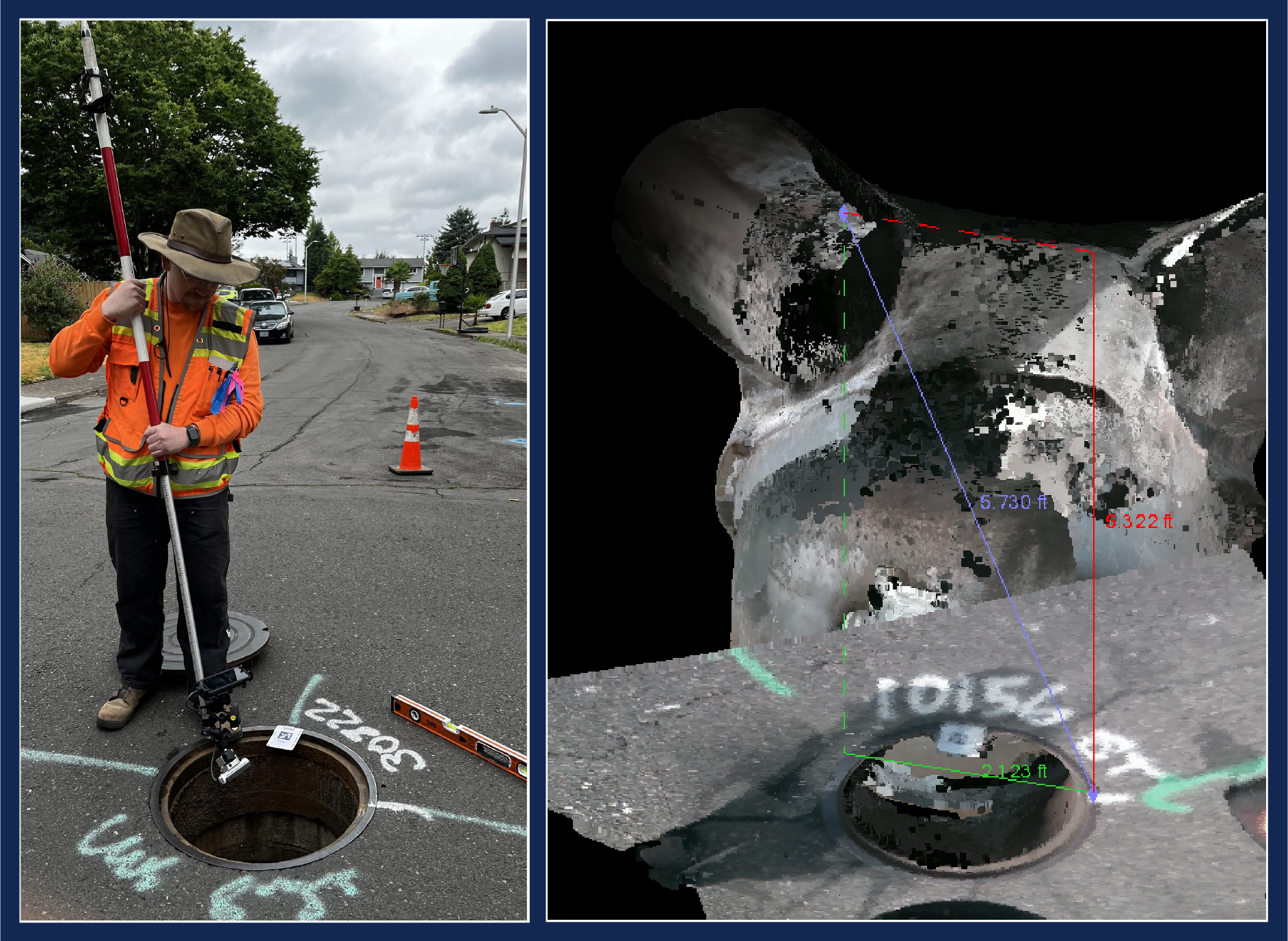
AKS Engineering Case Study: Improving Manhole Survey Efficiency with Dot3D and RealSense™
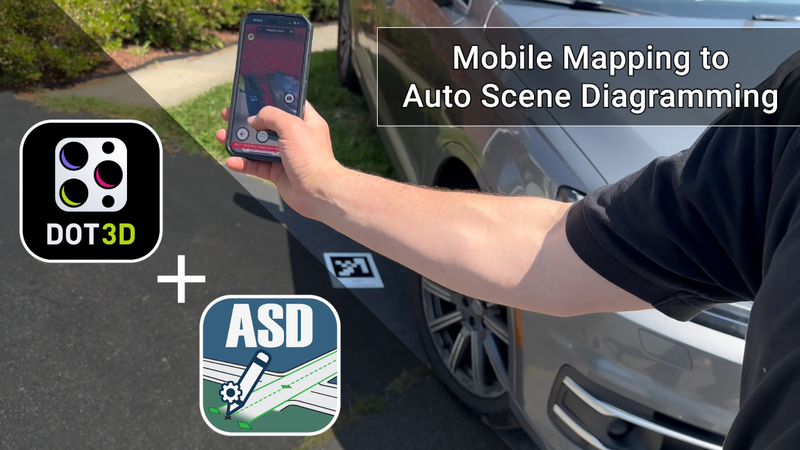
Dot3D + AutoScene Draw: Mobile 3D Mapping to Auto Scene Diagramming

Join us at the International IAI in Orlando Next Week
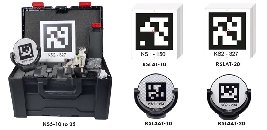
Innovative New AprilTags Now Available from Rothbucher
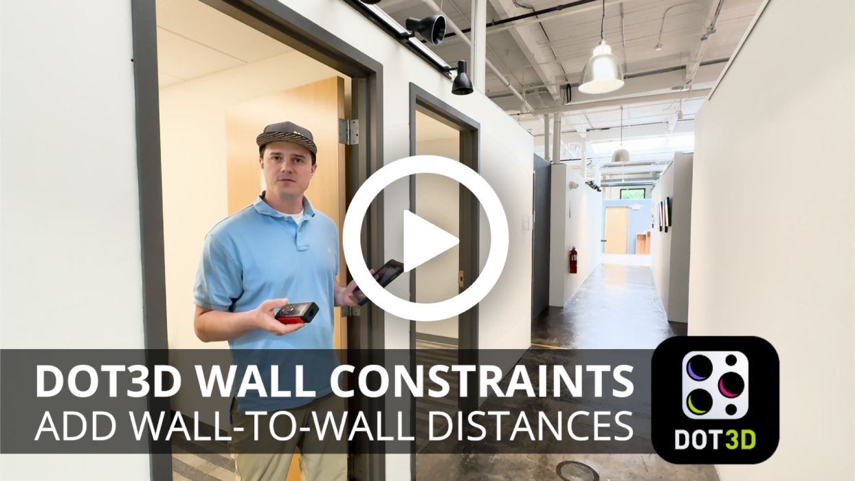
NEW Feature Tutorial: Wall-to-Wall Constraints

It's a Hot3D Summer! Enjoy 15% off Dot3D Pro

Join us at the 10th Annual Police Expo in New Delhi
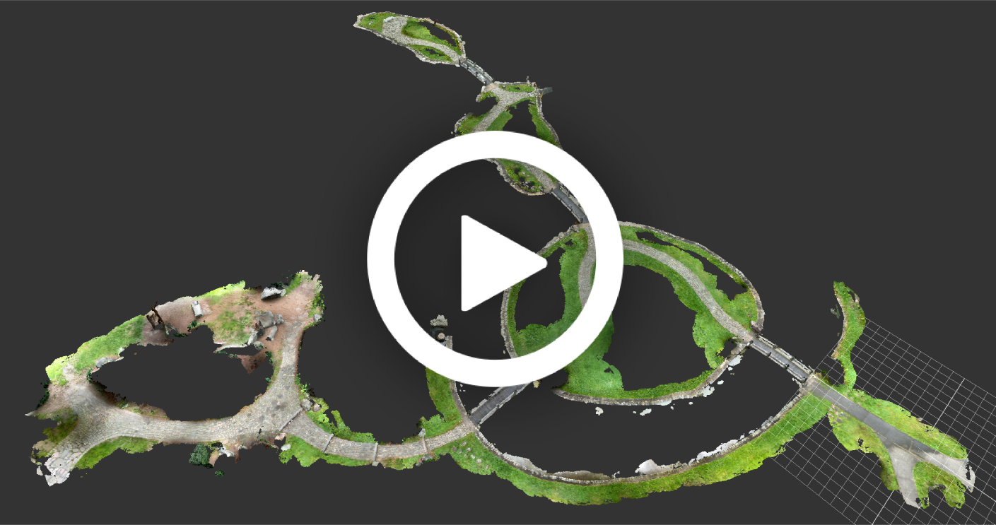
Sample Outdoor Scan: Japanese Garden on Sketchfab

New Tutorial: DP Import & Meshing in ReCap 2026

New in Dot3D 6.1.3: Orthophoto / GeoTIFF Export

Find us at the TDIAI Conference Next Week
We also look forward to supporting our partners at Collision & Crime Forensic Solutions again next week in Texas! Find Dot3D at the CFS booth from June 10-14 for the TDIAI Conference in League City, TX. Click here for more info.

Simulated Crash Scene Data from IPTM 2025 in Orlando
Please click here to view a freshly captured Dot3D sample scan of a simulated crash scene from the Institute of Police Technology and Management (IPTM) Symposium on Traffic Safety in Orlando, FL last month. This was captured and processed under a tight time crunch (5 min total!) without the use of targets or advance preparation. While we wouldn't necessarily recommend that last part, it's always great to see Dot3D delivering under such challenging conditions.
Special thanks to our partners at Collision & Crime Forensic Solutions for hosting us at their booth all week. And to Leica Geosystems and the IPTM for arranging the simulated crash scene and hosting an excellent event.

Yokogawa Bridge & DotProduct develop new Anchor Bolt Solution for Dot3D on iOS
Please click here for some exciting updates from our partners in Japan at Myrtos Corporation and Yokogawa Bridge Corp. As part of our continued collaboration, we're glad to release a new "Anchor Bolt Mode" for Dot3D on iOS (LiDAR) devices. While this functionality is currently exclusive to Yokogawa Bridge Corp., we do expect to make it more widely available soon. Please stay tuned, and let us know if this functionality is of interest to your organization.