

➜

Dot3D to ProgeEARTH
Civil engineering and survey software from ProgeSOFT
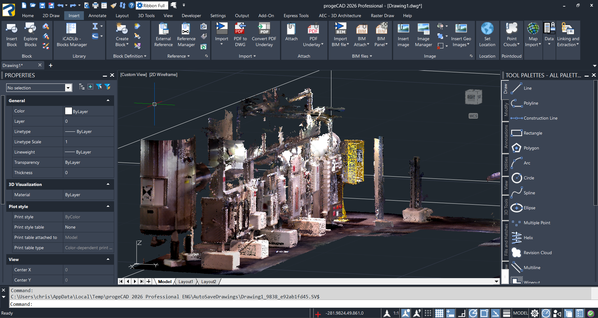
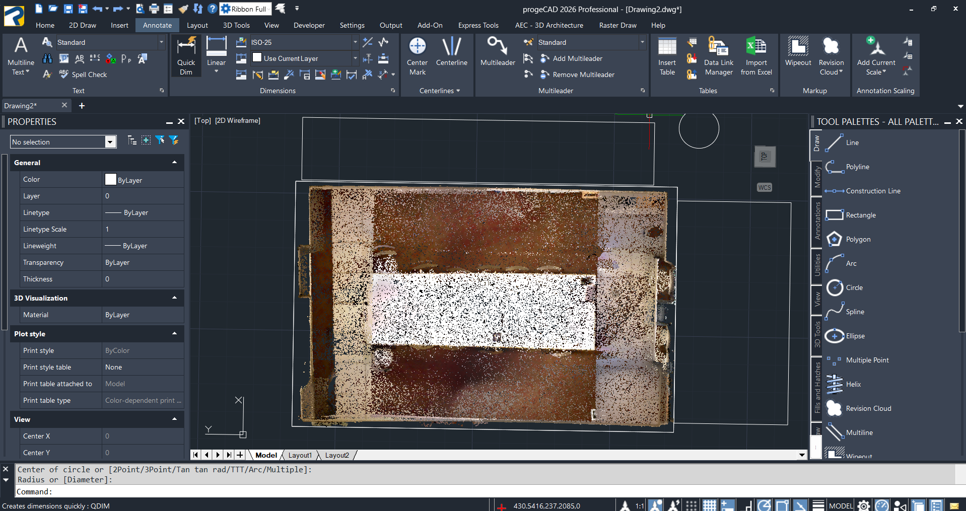
Dot3D scan data can be easily imported directly into ProgeEARTH. Direct import options include: LAS and PLY.
The following tutorial shows the simple process of opening (and modeling from) a Dot3D scan file in ProgeEARTH:
ProgeEARTH is a specialized software built on the progeCAD platform for civil engineering and land surveying. It provides a perpetual-license solution for creating digital terrain models, generating contours, and performing coordinate geometry calculations.


Ready to learn more?
About ProgeEARTH
progeEARTH is a specialized software suite for civil engineering and land surveying that runs on the progeCAD platform. It provides professional tools for digital terrain modeling, coordinate geometry (COGO), and road design. The software offers a cost-effective solution with a perpetual license for professionals needing to perform tasks like creating contours, calculating cut and fill volumes, and generating profiles from survey data.