+
Scan3D to Carlson Point Cloud
3D data processing for surveyors, engineers, and GIS professionals
Direct import options: E57, LAS, LAZ, PTS, PTX
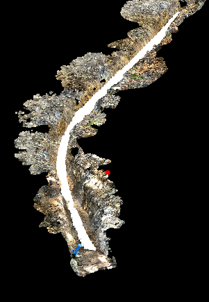
Carlson Point Cloud now directly imports native .DP scans from Scan3D and Dot3D, making it easier to integrate with Carlson Survey and Carlson Civil. This integration provides a complete set of tools for processing and managing 3D point cloud data, including cleaning, editing, filtering, and classifying points. These software packages are used by surveyors, engineers, and GIS professionals to help create topographic surfaces, 3D models, and other geospatial products from laser scans, aerial lidar, and photogrammetry. Carlson Point Cloud is designed to efficiently handle massive datasets and features automated classification of ground points, plus the ability to generate contours and profiles.
Ready to learn more?
About Carlson Point Cloud
Carlson Point Cloud is a robust software module designed to process and extract survey-grade deliverables from large point cloud datasets. It enables users to import, filter, register, and analyze millions of points from aerial or terrestrial scans. A key strength is its automated feature extraction, allowing for efficient creation of linework for curbs, building outlines, and more, seamlessly integrating with Carlson's civil and surveying CAD products for "field scan to finished plat" workflows.


